Hurricane Isaias made landfall late Monday night in North Carolina after mostly dodging Florida and gaining strength throughout the day, hammering the state’s coast with heavy rain and strong winds.
Isaias, which prompted evacuation orders in the Tar Heel State over the weekend, brought maximum sustained winds of 85 mph to southern North Carolina near Ocean Isle Beach, the National Hurricane Center wrote in an advisory. The storm made landfall around 11:10 p.m.
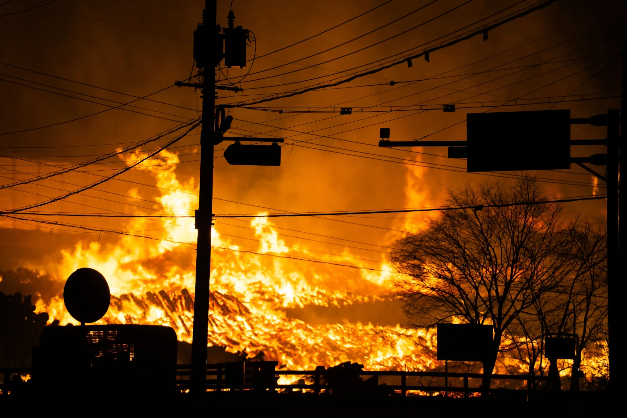
Nearly 270,000 customers were without power in North Carolina as of 2:05 a.m. Tuesday, according to poweroutage.us.
A hurricane warning was in effect from Little River Inlet, South Carolina, to Surf City, North Carolina, early Tuesday morning, according to the hurricane center. A storm surge warning, or the danger of life-threatening inundation from rising waters, was in effect from Little River Inlet to Cape Fear, North Carolina, along the Neuse and Pamlico rivers and from Ocracoke Inlet in North Carolina to the Virginia border.
The hurricane center warned that "the combination of a dangerous storm surge and the tide will cause normally dry areas near the coast to be flooded by rising waters moving inland from the shoreline."
Isaias began the day as a tropical storm before strengthening into a hurricane hours before hitting the North Carolina coast.
Isaias – pronounced ees-ah-EE-ahs – could bring heavy rains, too – up to 8 inches in spots as it moves up the coast, senior hurricane specialist Daniel Brown said, and “all those rains could produce flash flooding across portions of eastern Carolinas and mid-Atlantic, and even in the Northeast U.S.”
According to the NHC, eastern New York and western New England from Connecticut to New Hampshire can expect 2 to 4 inches of rain, with maximums of 6 inches in some areas.
President Donald Trump, speaking during a Monday press briefing, said he has issued emergency declarations for Florida, South Carolina and North Carolina. He added personnel from FEMA are "on the ground in all areas."
A tropical storm warning was in effect for a huge portion of the eastern U.S., all the way from Georgia to Massachusetts, impacting 113 million Americans, according to the weather service.
Mandatory evacuation orders were issued Dare and Hyde counties in eastern North Carolina ahead of Isaias’ arrival. Brunswick -- where Ocean Isle Beach is located -- and Sampson counties had voluntary evacuation orders.
South Carolina Gov. Henry McMaster on Saturday tweeted that evacuations for his state were “unnecessary,” but urged residents to take personal precautions.
Flood watches were posted all the way from the Carolinas to New England. In all, about 54 million people live where flood watches are in effect. These watches include the Washington, Baltimore, Philadelphia and New York City metro areas.
Hurricane center director Ken Graham said 90% of fatalities from tropical storm systems are from water. "So that's a dangerous situation – too much precipitation," Graham said. "If you're out and about, don't drive your car where water covers the road."
The storm could also spin up a few tornadoes, the hurricane center said. The tornadoes will be possible over coastal South Carolina beginning Monday evening, spreading across eastern North Carolina into Tuesday morning.
Tornadoes will also be possible on Tuesday from eastern Virginia northeastward into southern New England.
Isaias is the earliest named ninth Atlantic tropical cyclone on record, Weather.com said. The previous record was Irene on Aug. 7, 2005.
Meanwhile, forecasters were watching yet another system out in the Atlantic. A weather disturbance located a few hundred miles north of the Leeward Islands is producing disorganized showers and thunderstorms, the hurricane center said.
"Environmental conditions could allow for some slow development of this system during the next several days, with a tropical depression possibly forming later this week," the hurricane center said.